Showing posts with label Off road. Show all posts

Thursday, February 18, 2016

Down By The River


In Arizona, the word “river” takes on a different meaning than those areas with wetter climates. In December, 1944, German POW’s housed at a camp near Papago Park in Phoenix found this out the hard way. After a daring tunnel escape that included building a makeshift raft, three of them intended to float down the Gila River (or Salt River, depending on the source of the story) to freedom. Upon reaching the banks, they probably realized that their raft would be useless on this river for anything other than heat as a campfire, and promptly burned it.
Eventually they were captured…but not before learning what the native residents know; the word “river” in Arizona usually means a dry bed where water flows at times, and might flow if there were enough of it…but usually doesn’t most of the year.

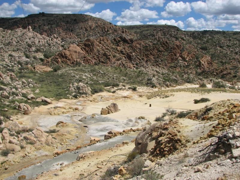
So…the Sonoran desert isn’t the ideal place for natural-terrain water sports. What it is good for is miles and miles of trails. That’s what brought me to the banks of the Santa Maria River on this day. What a surprise, then, to see it looking like an actual river with good water flow. Snow-fall in the various mountains surrounding the area are to blame.


The Santa Maria is about half-way between the tiny town of Hillside, AZ, and the larger-but-still-small mining town of Bagdad, AZ. There isn’t much in these areas…and in fact, a small piece of Arizona not too far away bears the perfect name: Nothing, AZ.

In my years in Arizona before I could trail ride, I often rode my street motorcycle on the two-lane roads connecting these towns with other small Arizona towns like Kirkland, Congress, and Wickenburg. And of course, I noticed all the trails heading off into the unknown…and vowed someday to ride them. Today was the day I would start to make good on that promise.

So after I unloaded, I started making my way through the maze of river-side trails common to camping hot-spots. After finally finding the river's edge, I snapped off a few pics of the flowing water, and just stood there for a few minutes listening to this uncommon sound here in the desert. Later I would return to take in the sight of a setting sun on the rugged rock lining this bend, but for now I was off into the desert.


I forget how much I love the low desert until I come back to it. The desolate, yet filled-with-life beauty of this rugged land amazes me. Something in it has a distinctive smell that comforts me, and even before turning a wheel I was already in a better mood. I can imagine how daunting it must have been to try and eke out a living here when the first settlers moved in, yet I understand fully why they may have put in the effort. The terrain here consists of lots of rocks…LOTS of rocks, and just about every type of sticky bush, cactus, or tree in existence. Certainly, if nothing else, I would put my tires to the test.


From looking at Google Earth, it appeared that a set of trails roughly paralleled the paved highway between Hillside and my staging spot, and my plan was to follow them in this unfamiliar area. Should something go wrong, it would be a short hike to help. I like to stay close to my tow vehicle in new areas, and today would be more about feeling out the place than long trips into the back-country.
Soon enough I was winding my way through washes, over ridges, and around towering Saguaro on two-track leading off into the distance as far as the eye could see. The only people I encountered here were hunters, a few of what appeared to be trail riders like myself, and lots of cows. Soon I arrived at what my map called “Sweetwater well”.

There appeared to be recent grading work for a small earth tank here, and about 50 yards away was an old windmill who had been retired by what seemed to be a solar powered electric pump. Indeed, the old metal tank it fed was full of water. And reeds.

The Old Windmill has retired...
...and given way to that new fangled "solar electricity"...

...to produce sweet water!
The trail continued up the hill to the west, but my plan was to head back across the small wash I had crossed, check out an old corral, and explore the area nearer the highway. But the uphill trail wasn’t on my maps, and those seem to lead to the most interesting places, so I couldn’t resist heading up to the top where I expected it to end with a nice view.
A nice view indeed, but the trail kept going. Maps showed a “Jeep trail” to the west, and it seemed to be where I was heading. Sure enough, I was dumped into a now-known trail heading over very rocky ridges further to the west, and soon enough I was stuck in that cycle I get into where I say I’ll go to the top of the next ridge just to see what I can see, and then turn back. Usually, it takes several times to make good on my promise of turning, and this was no exception.

Along the way I spotted something a little odd looking in the form of what appeared to by an old telephone pole. I thought I has seen this earlier, but brushed it off as a dead Saguaro, which can take on a very “old wood” like appearance. As the ridges kept coming, though, it was apparent that these were indeed some sort of old utility pole. In fact, as I got further west, several still had bare wire attached to them. As rocky as this area is, it must have been a nightmare to install these.


Wire, still attached.
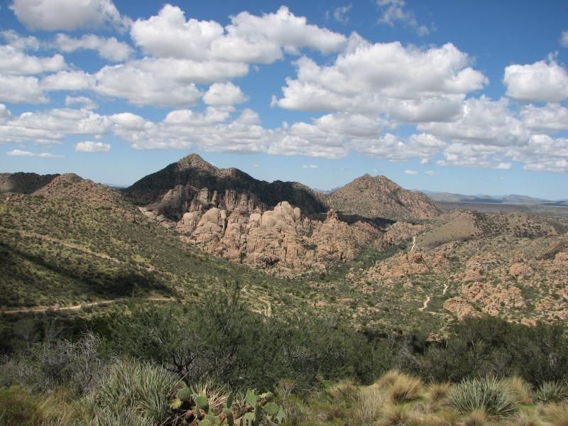
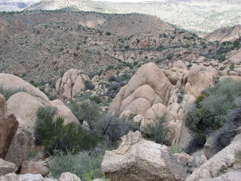
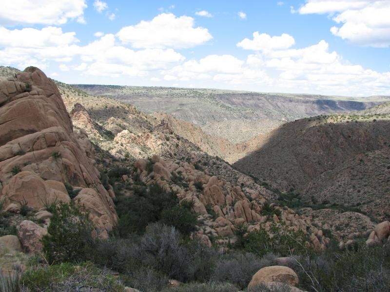
This fueled my ridge hopping, hoping to find an old mine or something associated with these poles. The poles kept coming however, and good judgement finally won out, and I turned back, vowing to find an answer to this mystery. I took a break on some rock formations, played with the panorama feature on my phone camera to try and capture some of the marvel of this terrain.


A post ride Google search tells me that these were “teleco” lines that connected Muleshoe ranch to Hillside, and that they were used up until “surprisingly recently”, though the comment was not dated. More added to the list to explore.

After the break, I back-tracked to the old corral and snapped some pics.


Afterwards, I headed down a little-used side trail that headed towards the main highway. Again, this trail would its way through some seriously rocky washed sections, then a deep canyon, before climbing a ridge and dumping me right beside the main road. Here I ate my Beefaroni over Sterno, and enjoyed a Cosmic Brownie to the sound of Harley's chugging up the pavement.


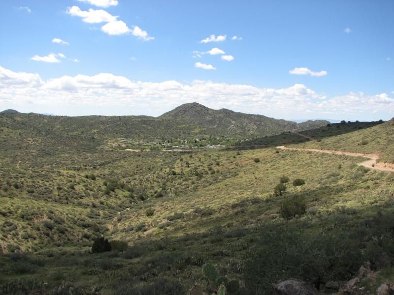
The sun was getting low, and I headed back for the waiting trailer via my river-bank route. By this time, the various RV’s were cooking dinner, and the smell of grilled steak and hamburger accompanied by wood smoke drifted over the flowing Santa Maria, while the setting sun made the desert terrain take on a warm glow you saw in the lead photo.

What a great place to camp. And ride. Soon, I hope to do it again.


Sunday, December 27, 2015

Trail Riding In Bagdad

( NOTE: This ride was done nearly 1 1/2 years ago, and only recently did I realize I had never done a ride report on this awesome area! )

...Bagdad, AZ that is. ( I took lots of pics, so you might want to check out the full album ).

This is a ride I've been wanting to take for some time, and my recent trip to the Camp Wood area brought it back to the forefront of my list of to-do's...but these rides always add more than they remove, and scouring Google earth shows that this area is covered in trails, and I only scratched the surface today.


Starting out in Camp Wood...still looking green...but the terrain today would change rapidly...

After passing Yolo ranch and the 2 gates the allow access to Bagdad, I was in virgin territory and soon dropping in elevation. The road itself was actually nearly passable by passenger car, yet terrain later in the day would prove technical as just about anything I've ever done in a SxS. 

The road continued until dropping off a mesa and skirting a large canyon that, surprisingly, had a significant amount of water flowing. Miles later we would meet in person, but 1st I would marvel at rugged chocolate rocks peaking out from the mesa tops...


This is on a side trail looking back up toward Camp Wood at the mesa top with the main road snaking in the distance...


In a scene repeated often on the day, I just couldn't help but marvel at the beautiful Az day that unfolded before me, especially considering that this was a rather mild day for this area...


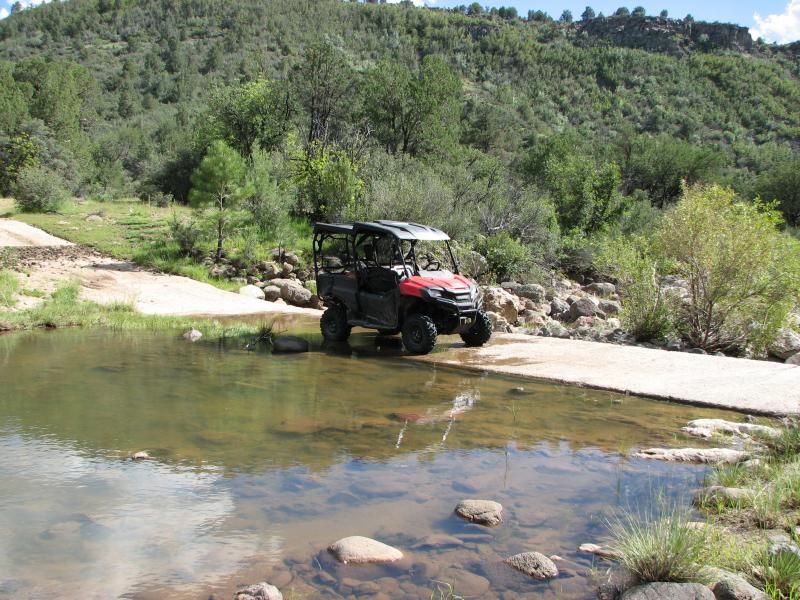
After winding my way on down the trail, I finally crossed that water...and it was running well enough for the locals to come out and play in the deeper pools. Later, I would learn that this area is known as Wild-horse basin, with a small ranch just up the creek. After crossing another small hill I was dropped onto a large flat plain for a few miles until I reached the mesa edge. Then the edge of Bagdad was before me...


I did go on down...but hit pavement, so decided to head back to the site of the pic and check out some side trails. I saw this remarkable site when looking west from the edge...


Notice all the trails, and its easy to see why I headed on down and followed one due west ( which is unnamed on any map I can find ) where I came across some old piping...which screams "mine" to us desert explorers. 
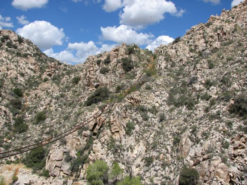
You knew this was rugged country...but even the jagged canyon I was about to enter would surprise me. No getting off the road here...and whoever made these roads definitely saw lots of profit to build a road into the side of a cliff. At the bottom was Boulder creek.


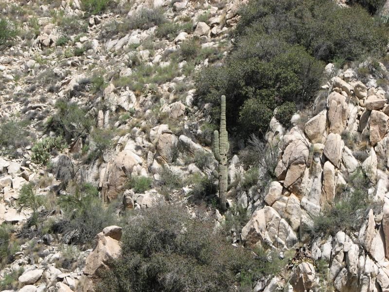
After snapping pics...I came to a realization when I saw Saguaro cacti growing everywhere: This was the 1st time I have actually ridden in true desert. Took 6 years after moving here to do it, but it was worth the wait. I was grinning from ear-to-ear all day.


Jumping back in the Pioneer, I followed the road on down and was surprised to see it cross the canyon bottom...complete with water deep enough to make me question crossing it. But I did, and found cool stuff for the effort. ( NOTE: I will have an accompanying video showing this road and creek at the end of this page ).
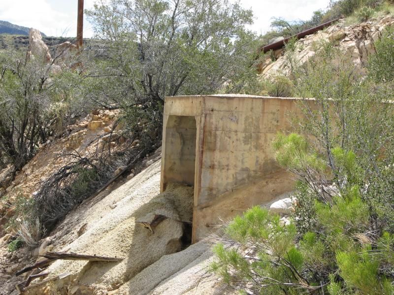
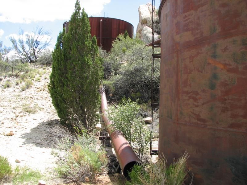
On the other side, the road twisted up this steep canyon-side and I emerged at the top to see relics of mans lust for wealth...


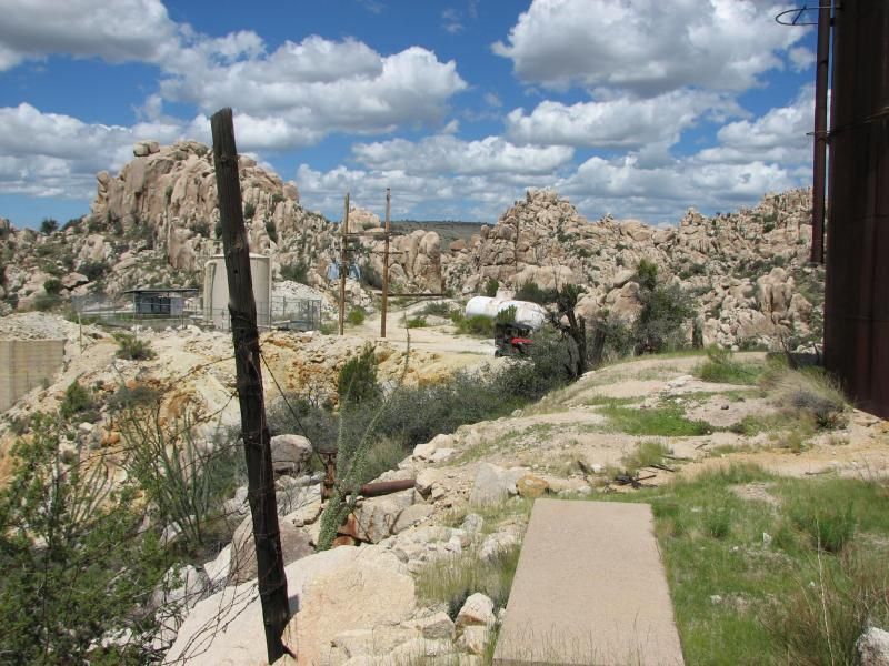
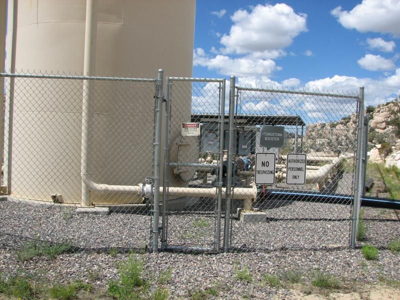
I was a bit confused as to what I was seeing...since among these was what appeared to be a modern pumping station of some sort...


...yet the other way was what appeared to be a retention pond of some sort...


...that I would end up crossing later. Trails went every way...but I like to feel out an area before I head off for miles into the distance, so I did some close exploring and ended up at a couple of wells, and later I would learn that this area in known as Warm Springs, and there was mining here complete with tailing pond, but the pumping station was simply put in a convenient location. I love finding stuff like this!!

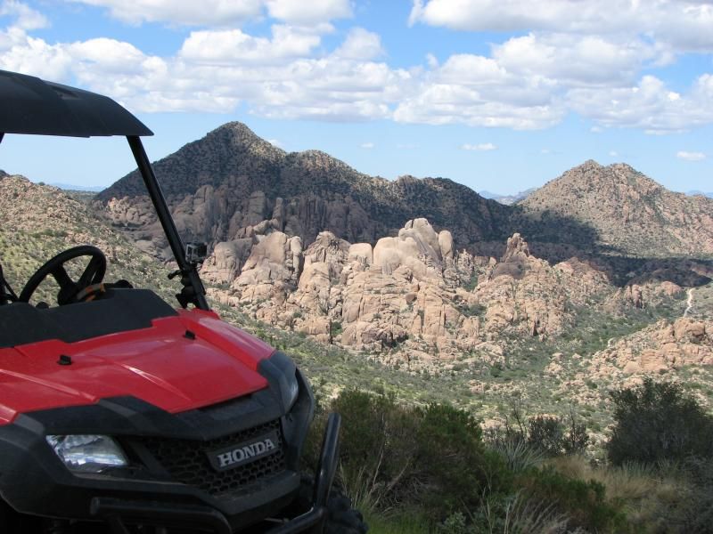
Back out of this narrow canyon and back to some of the trails through the rock mountains from the earlier pic. Heading south-west, the trails were cut through gaps in the rocks, and lead over to some of the most rugged terrain Az has to offer...


No travel here except on the trail, unless you're a Javelina...


That trail appeared to lead back into town, so I turned and headed back to the main landmark for some lunch...


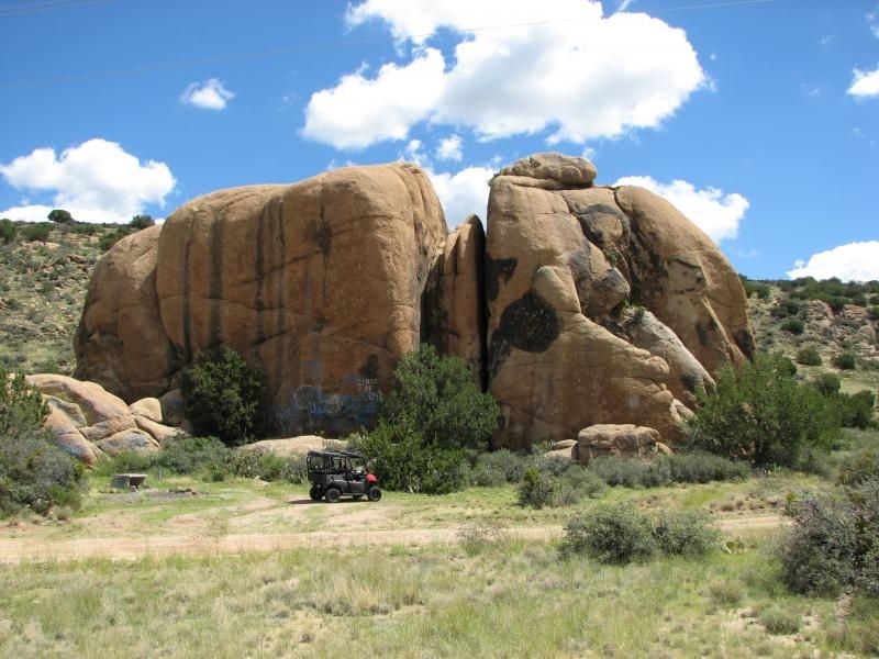
Too bad the locals had to screw it up with graffiti. Lunch of cold Mountain Dew and my favorite pastrami/pepperoni sub, a few minutes to take it in...and the dread of having to leave. Many trails to be done, but for now its time to head back.

Heading back up, I came across a road marked "Black Pearl", and decided to explore it a bit. Had to cross that creek again...


...and then hit some very eroded trails and rocks. After some miles of this I turned and headed back out, but found out later that I was really close to the "Black Pearl"...which was a sizable mine. More on the list...

Back up and out...all told, about 100 miles on the trip meter. This country never fails to please me. Almost unbelievably rugged canyons, yet 1/2 an hour from pine forest. Tons of relics to explore, and miles of trails to be seen. What a great day to be alive.


A bit of video of the area...


Tuesday, October 13, 2015

Charmed Life

Almost completely dark, with a big full moon. Clarkdale in the distance.
Here I am sitting on the side of Mingus Mountain just off Perkinsville road. It is completely dark, save for the full moon…one day removed from the blood moon eclipse event. I’m cooking up some spaghetti and meatballs on my Sterno stove. Streamed broadcasts on my phone are the only sound I hear except for some nocturnal birds to my rear. In the distance, a few miles away, the lights of Jerome twinkle…and even further, Clarkdale shines. Further still, a string of taillights heading for Sedona, AZ, light up the night.

Then it hits me: I am completely alone, and in a situation some folks would be terrified of. Poor suckers...
But not me…I revel in this. Out in the back-country, doing what I love, and still more coming to get back home.

After forcing myself to pack up post dinner, I roll on over to just above Jerome and a nice view of the Douglas Mansion and Gold King tourist attraction. Only dim lights in both...the night has sent people to the center of Jerome for some good food and drink, and maybe a ghost tour. I reluctantly turn and head for home…well, at least the direction of home…when someone else finally appears in the night. The tell-tale glow of LED’s to my rear, and I am soon overtaken by a XP1000 that had passed earlier. Someone else enjoying the high-desert night!

This “night” started many hours earlier in the day, when I headed straight from my driveway ( no trailer ) and into Chino Valley for fuel. Then on to Perkinsville road and Haystack…for a total of 112 miles. I have written about riding this area recently, and while there I had discovered a nice canyon on Granite Creek. Unfortunately, a party had already set up camp, so I was turned away. On this day it was vacant except for some hikers, so I got to explore a bit. Amazing that such a dry place can have such erosion from the force of water. I snap some pics of “measles rocks”, head back to Perkinsville road, and then take Narrow gauge road (318A) I talked of in my last post, to the east of where I was.

Measles Rocks
My goal was simply to follow it up and around towards Jerome, but alas…I got distracted by some roads heading south towards the Coyote Springs area, but stopping short of the actual development. After hitting a side trail and peaking on a tall ridge with an astounding view of the area...


...I noticed a cross positioned near the edge. The inscription simply read “Limon”, and gave some dates. Post ride research revealed that this was a Young man who grew up in nearby Prescott, and was found murdered in a BNSF facility in California where he had moved with his family. Later, his wife and her alleged lover were arrested for the crime, though the last report I saw said the charges against her were dropped, and the hearings are still pending. It seems markers in beautiful locations don’t necessarily have beautiful stories behind them. Godspeed, my friend.


After this, I spent the rest of the day making my way around Mingus and the old railroad bed…my original goal.
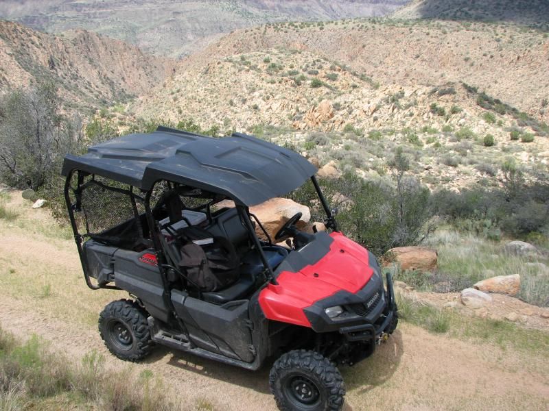
One side canyon, marked “CCC canyon” on topo maps, had been run by me previously in the dark, and I thought the views in daylight would be stellar…and they were. It was a rocky, climb with some ledges testing the tallish gearing of my Pioneer, but it did make it fairly easy. A great place to relax and have a Cosmic Brownie and a Grape Crush for a few minutes…until time took me back down to the old railroad bed. After exploring some of the many “tanks” perched on the hill side, I was again moving to the north on 318A. This former rail “road” is a little bumpy, but anything with clearance can do it in the dry with relative ease, while taking in some of the best views of Chino Valley and the surrounding area.

Cosmic Brownie and Grape Crush time!!!
Eventually, Perkinsville road joins with the old roadbed, and we begin what is the most spectacular leg of this old steam route up and across the summit. Again, this road is smooth gravel, but there are no guardrails, and going off the side means certain death in most places…as several crosses attest. It is here, while going through the large cut at the top, I first ran into the XP1000 that would be my only company for hours.


 A few miles later, I made it to the point where this story began…sitting on the side of a lonely mountain in the dark. But feeling very alive.

The last leg of my ride was back down the side of this mountain, via Perkinsville road. I had decided to make a loop of this, and sailing on through the night, I decided it would be cool visit to the Verde River Bridge. Approaching the river, I could already make out the faint glow of camp fires, and the delicious aroma of grilled burgers and wood smoke drifting across the cool desert air. People enjoying the night, just like me.

As usual, I had to make for home all too soon, but did so with a grin as I rolled up and across ridges, back to Chino Valley, with only deer and cattle as my companions.

I had to grin…knowing what I charmed life I lead. Some people spend their free time in front of the TV or computer, never knowing what the world holds outside of four walls. Not me.

If I ran out of brownies...

Monday, September 14, 2015

Chino City Limits


I used to see a show on TV listings called Austin City Limits. It has nothing to do with this blog, but I always thought it was a cool name for a show. A little Googling shows that it’s been on PBS for 40 years...yet I’ve never managed to watch one episode.

What I did manage to do is get out on the trails despite having low funds (that was a segue). I used only what I had in the Pioneer and my “reserve” gas can, and only what was already in my tow vehicle. This meant I couldn’t go far, but gave me the opportunity to check out some trails that have been rolling around my to-do box for a while. I headed out Perkinsville road only a few miles…probably actually IN the Chino Valley town limits if the truth were known, but that’s one of the advantages of living in a so-called “rural” area. The trails and back-country are never too far away.

My goal was to explore Haystack road, which eventually becomes a FS route in the general direction of the Verde River, and then just lead where the next trail takes me. As I said, Haystack has been on my list for a while, but I always skipped it for another trail because I thought it could go nowhere. As usual, when I finally get around to exploring those victims of trail prejudice, they reward me with un-expected surprises. Haystack does go nowhere (just where I wanted to go), and made for interesting bit of riding, with those remote treasures not everyone finds rewarding.

After a short distance, Haystack becomes FS 641. I had been told by a friend a few years ago that it went all the way to the Verde River at one point. After traveling for a few miles under 90 degree Arizona sun I began to encounter the usual dirt water tanks on mostly open grass-land, crossing a small wash a few times in-route. Truth-be-told, I had attempted this trail a few years ago in my Jeep after a heavy rain, and this same wash was flowing a few feet deep with run-off, but no problems today. A few miles in, the trail crested a small saddle in the low ridge that divides the drainage for the Verde River, and I was now traveling downhill into slightly thicker chaparral. The trail itself was not real rough…just enough to be a trail, but at this point was following a wash of its own.
After a narrow section and some small rock steps, the wash opened up and I found my 1st desert relics in the form of some water tanks, a small feed bin, and an old AerMotor windmill…the latter still spinning in vain, pumping water that isn’t there. And sounding much like one of the Tri-pods from the re-make of War of the Worlds from a decade ago. No EMP’s here, though. So after taking some shots, I consulted my topo app and noted that I was at the confluence of Gold Canyon and King Canyon, and then headed on down the trail.


Old feed bin and AerMotor, still working hard...and sounding creepy in the process. Gold Basin well.


A few miles later I was confronted with the all-to-familiar welded pipe gate and “No motorized vehicles beyond this point” sign that now block most easy access to the Verde River. I have documented one of these in a video before, and really expected to run into one at some point, albeit much closer to the Verde than this one was. Nothing left to do but turn and head back.
Once back at the old windmill, I decided to stop again and take a photo of a nearly buried water tank I had omitted before. After taking a few shots, I started hearing the tell-tell buzzing of a bee swarm several yards away. This would be of little concern to me except for the fact that Africanized Killer bees DO exist in Arizona. I high-tailed it to the Pioneer, and made the most of what power it has for several hundred yards. Strangely, this wouldn’t be the only time this scenario occurred today!

Buried tank at Gold Basin well, just before the bees came...
Once I had backtracked a bit, I turned onto FS 163. This number was familiar to me, and dumps you back out on Perkinsville road eventually, maybe 5 miles further than where I staged. In the meantime, it would its way across a few low ridges while snaking its way up Kings Canyon. Along the way were a few side roads I explored. These might have started life as woodcutting roads, but at this point they usually end at fire rings and campsites ( Arizona must lead the world in campsites ). A couple of these were interesting for the rock formations found.


Stopping on the way back to the main trail at a narrow spot where this trail splits two junipers, I hopped out to snap some pics when I started hearing thunder in the distance. My sight-line was blocked by a tall ridge at this point, but dark clouds were soon rolling across, and I decided to wait it out under the trees and take in the desert. Layers of rock to my right that defy time. The small wash to my left that testifies to the power of rain in the desert. The sprinkling of rain on my head as lightning flashes miles away. This is the reason I come here…to nothing…yet everything. Then I heard that buzzing again! For second time in a few hours, a swarm was headed my way. This time I simply stayed put, and it passed harmlessly by…though I am not sure where.  I guess it could have been the same swarm as the 1st, simply heading in the same direction…

Storm clouds formed as I explored a side trail.
After the threat of rain dwindled I was back on 163 when I encountered what was called Kings well on my topo map. This whole area, it seems, has above average moisture just underground, as it has unusually high “greenage” for the desert. The well itself was fenced in and framed by some larger than usual pines…another sign of water in the soil. To access it required that I cross a field of sunflowers…


But first I hit the side trail leading off to the east. Again, it dead ended at some barren rock formations at yet another drainage eventually feeding the Verde River. And a fire ring. The rocks here showed more than usual erosion, so I can assume that large amounts of water can be present at times.


After exploring a small area and taking some pics, drops once again started to fall, and I headed back to the well, and spent some time under the trees enjoying a sliced chicken breast sandwich, topped by tangy mayonnaise and mustard. Washed down by an ice-cold Coke. Then checking out the infrastructure at Kings well, which was in a state of disrepair…including a poor AerMotor, who gave its all, and now sits neglected. Kings Well looks has not produced water in some time.

A snack spot at King's Well.

The old windmill at King's well gave its all.
After “veging” for a bit, I headed on up 163, and found that I was just a short distance from Perkinsville road. Sitting on the shoulder, I planned my next phase of the ride, and reflected on what I had seen already today. What was maybe the biggest surprise was that at this point I was a mere 7 miles from main street in Chino Valley…and the bulk of the ride was probably spent less than 5 miles from town. A surprising little adventure where I never expected such, and an enjoyable segment of trail for reasons I can’t really explain. I guess the simple things in life include simple little trails.

My ride was not over yet, though. My next move was for Martin Canyon and Smiley-rock trail…but that will wait until next time.


To be continued…

Click here for part II