Showing posts with label life in the west. Show all posts

Sunday, February 15, 2015

Trails and Treasures

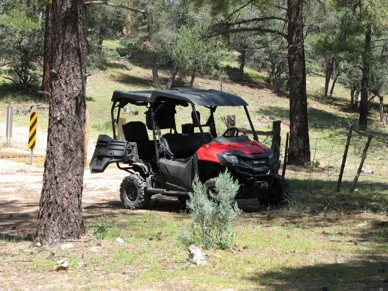
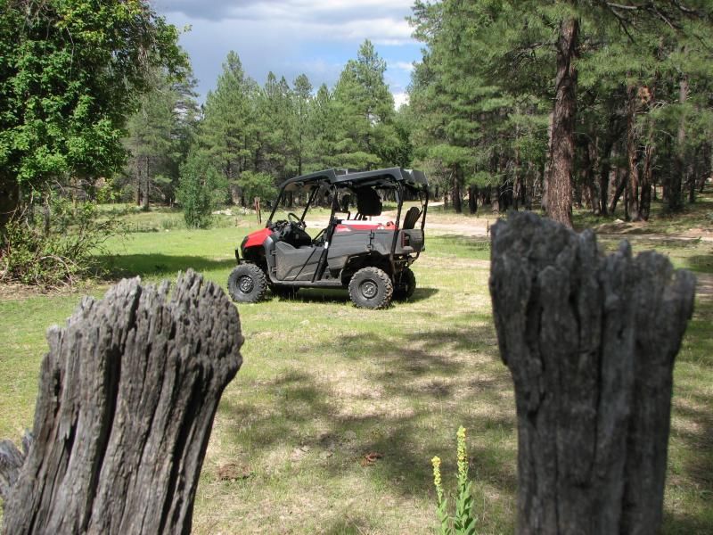
I'm going to start calling it the farm truck.

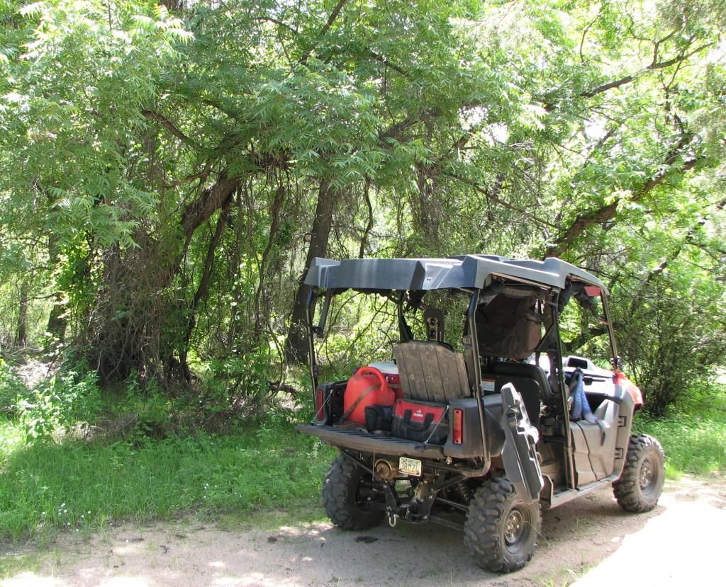
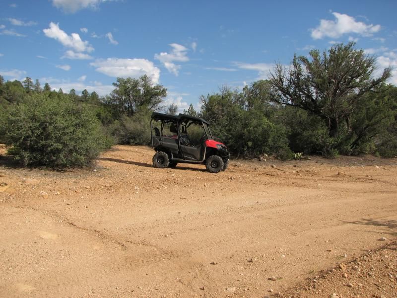
The nice thing about a Honda Pioneer-4 is that it allows you to take 4 persons in the same footprint of a normal-sized 2 seater, rather than the bus-like dimensions of other 4 seat machines. The bad is that by using the cargo bed as seating, you quickly run out of places to cram stuff. I never thought I'd say this...but i need a bigger SxS!
My brother-in-law, his son, and myself decided to do a little metal detecting while out on the trail today. Even having one side of the bed to put stuff still didn't eliminate the need for cramming, but a cooler, a few bags, 2 folding chairs, and 2 metal detectors with shovels later, we were on our way.

A few years ago I had come across what looked to be 2 old home-sites in a remote and beautiful canyon area where I sometimes ride. Detecting them has been rolling around in the back of my head for a while...but today would see it finally marked off the list. After 45 minutes or so of passing old flagstone mines and horses, we were at our destination.


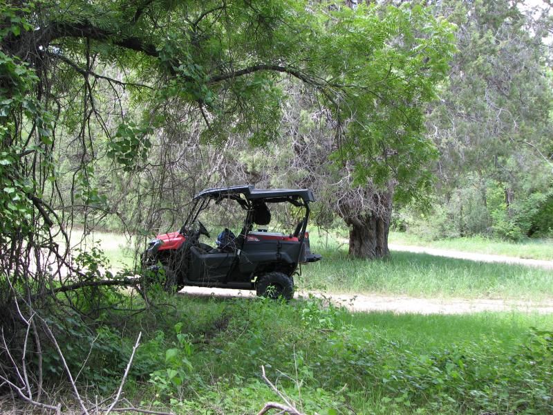
Nestled under some nice shade, we started nosing around. We aren't what you'd call serious detectors as you would be able to tell by our equipment...we do this mainly for the fun of getting out in the middle of nowhere for a while. And if we dig up lost treasure, so be it.

Right away my detector went off, and a few shovels later we were pulling out a rotted leather saddlebag filled with gold coins from a nearby train robbery that has remained unsolved for 120 years...
Sorry, my bad...It was a a rusty nail that just looked like a rotted saddlebag filled with gold coins...

And another nail...

And another...

Seems these old rock foundations belonged to the local hardware store or something.

ACE is the place...
I confess I really don't have the patience for this sort of thing. After 30 minutes of not digging up Billy the Kid's revolver, I tend to get bored and taper off. The rest of my party is a little more patient, so while they are still digging up nails and bolts, I "glass" what I thought looked like Indian ruins at a distance...but they weren't paying off either. Just a cool rock formation...


A short time later we move on to a second site down the canyon. Like the 1st, this seems to have been something at one time, but lots of camping by more recent inhabitants mean there is also lots of junk. But...it does turn up a few things that are worthless except for the historic aspect of the past. Part of an old door-knocker or maybe clasp of some sort, and an old can marked "Mac's 13", which judging from the few discernible words of the back, was some sort of radiator sealant. Ironically, most of the stuff we found here was simply laying around; No detector needed...


Today's "Treasure".
None the richer except for the experience, we ate our usual lunch of Spaghetti and meatballs with diet Mountain Dew. I could have napped quite well were it not for some persistent bee's.


After some relaxation, we moved on to a cool mini-Moab area nearby I refer to as the rock domes. Several hundred yards of solid slick-rock with a man-made tank holding stinky water for the local cattle.

Ho-hum...another beautiful 70 degree AZ winter day...
After nearly falling asleep again, we loaded up and headed for the Verde River at bear siding, which my B-I-L and his son have never seen...and wouldn't again due to a large number of people camping. Even in BFE, it can get crowded.
But I had a backup plan: A few months back I had taken an old railroad service trail down from Bear siding and found a decent can dump next to the tracks. Maybe I am putting more into it than I should, but the only reason I can see for it to be there is as a camp for the construction of the Railroad, circa 1901. My goal was to investigate it and maybe break out the detectors, but once there, it was obviously a lost cause due to the number of old can fragments lying around. I think in the future I will work on getting to know my detector a little better, so the difference between junk, coins and other valuables we be easier to realize. At that point we will re-visit this area.

But for now, we just broke out the chairs again and sat in the Junipers as the sun set. After trading tall tales into darkness, we loaded up and headed for home. No more wealth than before, but richer all the same.


Sunday, January 4, 2015

Towers Mountain


During Recent attempts to find Bradshaw's grave (Part I, II, III ) there was a break in the action where my brother-in-law had other obligations, so I went out alone. This was once a very common occurrence, but in more recent times I have become accustomed to enjoying the sights with a friend. And another body is always good if something goes wrong and you need a little muscle to push or rock the machine.

After mulling over where to go on what turned out to be a chilly day, I decided to check out some side trails I had seen near the mountain town of Crown King, AZ, on recent outings. Due to my usual habit of getting side-tracked by other sights, I really only got to do the main trail I had in mind, but found the views to be quite spectacular...and the temps quite cold! As you can see from the lead photo, Towers mountain has...well, towers. Several of them, in fact, although that apparently isn't the source of the name ( that belongs to a Mr Towers somewhere in history ).

After staging in my usual location on Senator Highway just south of Prescott, a ride of something on the order of 25 miles is next until you arrive at FS 52C which heads east and climbs rapidly up the mountain.I had looked at this mountain many times in the past and thought it barren except for the obvious cell and microwave equipment, but I was wrong as usual. Once 52C climbed for some distance it joined in to 9238A and again continued to climb to the summit where yet more roads were encountered. Not only were these some of the "trail" variety, some were actually very good graded roads. I now realize that if one chooses, you can go across the lower end of this mountain and head into Crown King from the "main" road from I-17.

After winding on up, I found part of the reason for the good roads: Houses. A few of them, actually. I would guess these are summer homes, since no one in their right mind would choose to live here in the winter.

Shortly after driving by the last private driveway, I was at the summit, All 7685' of it, complete with lots of small buildings and communications equipment...


As you can see, Towers mountain will soon be adorned by another tower. I am actually surprised that this area isn't gated off, but I saw no signs other than those warning to stay out of buildings, etc.

On the way back down I did a tiny bit of exploring and added more trails to my ever growing to-do list...but this was no day to be up here. Summer...that's when its best to be on top of this mountain. There was thick pine cover that had recently suffered a fire, and one of the side trails was marked "Gladiator mine trail". This peaked my interest because one of the recent major fires here was the Gladiator Fire, and I assume it started somewhere near the mine itself. In fact, looking at a topo map post ride shows many mines in the area ( which shouldn't surprise me at all ). Much to be checked out...on a warmer day.

Back down on Senator Highway and heading for home, this ride wasn't done with a few treats. First was a Javelina crossing the road. Not all that uncommon. Second was a bit more of a treat in the form of 3 black bears; Momma and 2 cubs...which meant that I stopped forward progress ASAP, 1400lb SxS or not. This was the 2nd time in the span of about 3 weeks I have come across a bear in this area. Too bad they ran into the bushes before I could get my camera out. Now, 2 months after the fact, I am sure they are curled up nice and warm and cozy somewhere.

Like them...it was time for me to disappear into the setting sun and the waiting trailer to take me home again.


Friday, November 14, 2014

Return to Camp Wood


"Are we stuck?"

...quipped my nephew from the back seat after hearing the Pioneer at full throttle with zero movement. "No buddy...we're just having a Pioneer delay.." I replied, trying to see the humor in the situation. After backing up a bit and hitting the large rocks with a little momentum, we bounced over and were on our way yet again...Somewhere in the Santa Maria mountains.

Today's ride is in the Camp Wood area of AZ. This area has special meaning for me, since it was the 1st real ride I went on in AZ after escaping Phoenix hell, and finally finding the cash to tag and register my ATV...and buy a trailer to transport it. I went for 3-4 rides in the area before abandoning it for other terrains. Haven't been back in 2 years or so...save for a Jeep trip with the in-laws maybe 1.5 years back.

I don't remember it being this green. Of course, this is monsoon season in AZ, and torrential rains may be adding to that coloration...but I had forgotten what I nice place it is, and I will be checking that color to see if it stays.

This place is north-west of Prescott, AZ, and about due west of my home of Chino Valley. It's home to the Sheridan Mountain/Smiths Mesa OHV trail system. The SM/SM trail system is mostly south of where we rode...and is real trails rather than FS roads I usually bring you. In other words, the Pioneer is a tight fit on them. It's also home to the Yolo ranch, and the mysterious Baca Float #5. Head far enough west and you'll get to Bagdad.....Bagdad, AZ, that is. It would take years to explore all of this area. I hope to do my best...

We started by heading north on Williamson Valley road, then turning west of AZ68 ( or FS68 ). After the turn it is about 8-10 miles of dirt road depending on where you want to stage. Many just ride from the turn, but I don't like putting "empty" miles on my Pioneer on flat, graded roads, so I get closer to the trail-head. Soon we were unloaded and sailing along on a slight grade until we hit pine forest. Here we turned north on FS59.

Right away we saw more campers than we had seen in awhile. I've had AZ trails mostly to myself...but this must be a popular place. Still, most of they day was spent alone. A short way down 59 we spotted some deer, and then a bit further we had to stop to secure the cooler which had come loose, and get high on the scent of fresh pines. Green grass was all over the place...


After securing the cargo, we headed on north...buzzing on pine scent. The topography here changes quickly, and soon we were out of pine forest and into the typical desert chaparral you'd expect here. FS59 is a relatively nice road, and we soon covered miles until we hit Juniper Mesa. This was one of those "wow moments" I talk about...as down below us unfolded a large expanse of green grassland more typical of my NC home than AZ desert. My nephew actually ask if it was a football field.

After winding our way down some switchbacks, we crossed some water, and hit a section of lush foliage that is rare in AZ. Clearly, there is water close to the surface here...


This was as good a place as any for a trail lunch. I had a tasty Italian and turkey on cheese roll with Swiss, and washed it down with a Mtn Dew. I don't know what my in-laws had...but I do recall my B-I-L lamenting some crushed chocolate doughnuts. The horses across the way had fresh grass.

We spent about an hour in this mini Eden splashing through the creek...looking for anything that slithers, crawls, or swims. The link above suggests this water isn't permanent...but it sure seems like the area was well hydrated. Time will tell.

Strangely, this wasn't the only taste of home we would encounter today...

Backtracking, I took a trail marked FS59A. Usually the "letter trails" don't go all that far, but this one proved to take us almost all the way back to 68 before dumping us back onto 59. It initially wound its way through aromatic pines, through water filled washes, and then past one of the common cattle gates in this country. Somewhere was a sign the warned of "Hazardous trail conditions". I chuckled at this, but this trail proved to be far rougher than the normal FS trail, with tons of rocks, eroded ruts, and some slight grades. It was also the catalyst for the intro question.
Nothing too tough for an ATV or SxS, but a vehicle better have clearance and a disregard for paint.

Anyway, it wound up, then down a small peak and finally came into a convergence of two canyons...although from the looks, I'd feel more comfortable calling them hollers...


There was a small stream out of frame, and some of the biggest trees I've ever seen in AZ...and that undergrowth that reminds me of home. Water was green from moss ( I hope )...but my nephew did see a 2-headed dragonfly and a 9 legged spider...so who knows. I kept waiting for him to see a high HP, long travel Honda sport SxS...

B-I-L and I both lamented the lack of a hammock for a nap. Would have been a perfect spot...except for the vampire gnats. Still, more akin to NC than Az desert.
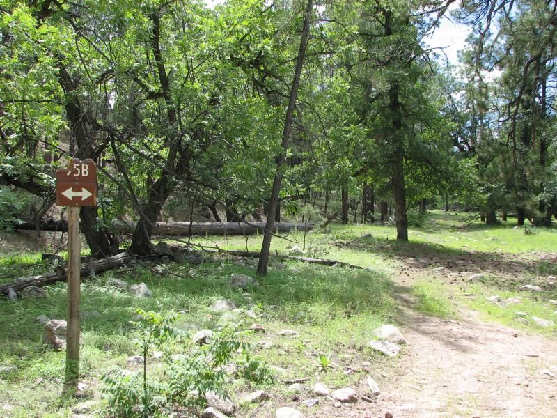
As you can see, a trail marked FS59B went up the holler. We followed it for a few miles before it got serious on an uphill. Completely do-able...but not with a little one in back. Storm clouds were also gathering, and the cardinal rule of wheeling in the desert is to avoid any drainage when heavy rains might come, so we went back to 59A and headed out.

The rest of the trail was much like what we had traveled....rocky, rutted, and crossing many washes before dumping us back on 59 near an old cow corral. This thing makes a great rock crawler, except where noted.

It sounds strange, but I love to find these old ranching relics. I wonder what they have seen in their time. The hard work...the coming and going of man. They date back to a simpler time than what we live in.
Strangely, this one had an old volleyball that still held air better than the Chinese one you just bought at wal-mart. My nephew entertained himself with it for a while, a small shoe print in one of the many cow-patties the only miscue...


After a while we headed back out to FS68 and headed west to check out Yolo Ranch. This thing is a scene right out of Bonanza...


 Just to the west, a drainage quickly becomes a canyon, and just to the east of the ranch itself was FS 702 which looked to follow it. This wasn't the case, but it did go down into the SM/SM trail area to a place I had been before on the quad. Completely different terrain...


At this point it was getting late in the day. We hadn't had cell phone contact in hours, and a storm was looming back towards the staging area, so we headed for the trailer. After chugging back up the mountain on FS702, we hit 68 again and headed east.


Back through pine forests, past trickling waters, jagged mesas and rock formations. Our brains full of sights and sounds from they days adventure...but wanting more. But it will have to wait until another day. As always,this ride added more to the to-do list than it took off...but that's OK. That's why we do these things...to see whats over the next hill. To chase the horizon.


God willing, we will be back.