
"Are we stuck?"
...quipped my nephew from the back seat after hearing the Pioneer at full throttle with zero movement. "No buddy...we're just having a Pioneer delay.." I replied, trying to see the humor in the situation. After backing up a bit and hitting the large rocks with a little momentum, we bounced over and were on our way yet again...Somewhere in the Santa Maria mountains.
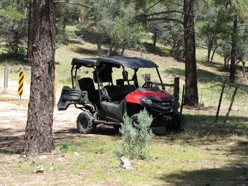
Today's ride is in the Camp Wood area of AZ. This area has special meaning for me, since it was the 1st real ride I went on in AZ after escaping Phoenix hell, and finally finding the cash to tag and register my ATV...and buy a trailer to transport it. I went for 3-4 rides in the area before abandoning it for other terrains. Haven't been back in 2 years or so...save for a Jeep trip with the in-laws maybe 1.5 years back.
I don't remember it being this green. Of course, this is monsoon season in AZ, and torrential rains may be adding to that coloration...but I had forgotten what I nice place it is, and I will be checking that color to see if it stays.
This place is north-west of Prescott, AZ, and about due west of my home of Chino Valley. It's home to the Sheridan Mountain/Smiths Mesa OHV trail system. The SM/SM trail system is mostly south of where we rode...and is real trails rather than FS roads I usually bring you. In other words, the Pioneer is a tight fit on them. It's also home to the Yolo ranch, and the mysterious Baca Float #5. Head far enough west and you'll get to Bagdad.....Bagdad, AZ, that is. It would take years to explore all of this area. I hope to do my best...
We started by heading north on Williamson Valley road, then turning west of AZ68 ( or FS68 ). After the turn it is about 8-10 miles of dirt road depending on where you want to stage. Many just ride from the turn, but I don't like putting "empty" miles on my Pioneer on flat, graded roads, so I get closer to the trail-head. Soon we were unloaded and sailing along on a slight grade until we hit pine forest. Here we turned north on FS59.
Right away we saw more campers than we had seen in awhile. I've had AZ trails mostly to myself...but this must be a popular place. Still, most of they day was spent alone. A short way down 59 we spotted some deer, and then a bit further we had to stop to secure the cooler which had come loose, and get high on the scent of fresh pines. Green grass was all over the place...
After securing the cargo, we headed on north...buzzing on pine scent. The topography here changes quickly, and soon we were out of pine forest and into the typical desert chaparral you'd expect here. FS59 is a relatively nice road, and we soon covered miles until we hit Juniper Mesa. This was one of those "wow moments" I talk about...as down below us unfolded a large expanse of green grassland more typical of my NC home than AZ desert. My nephew actually ask if it was a football field.
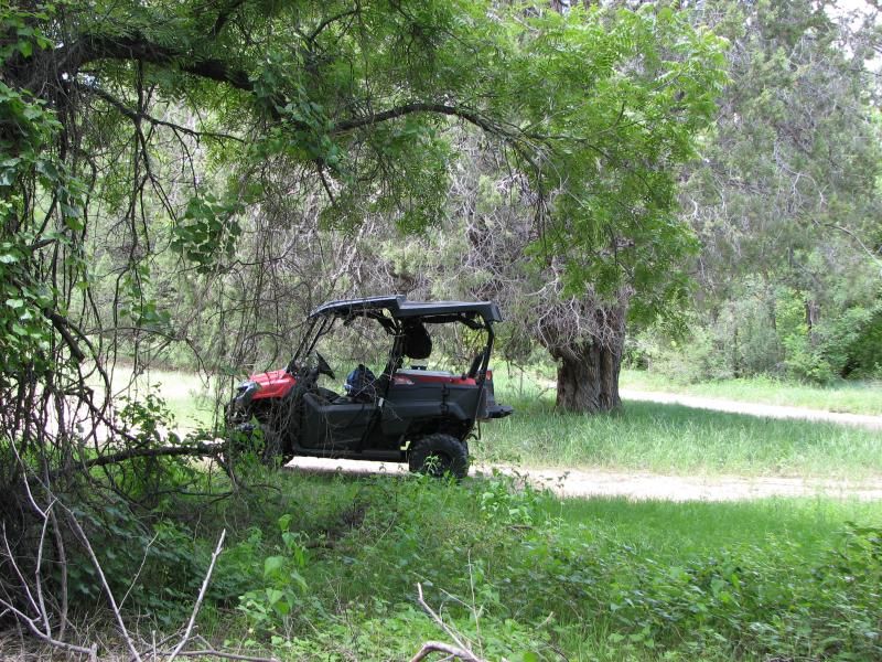
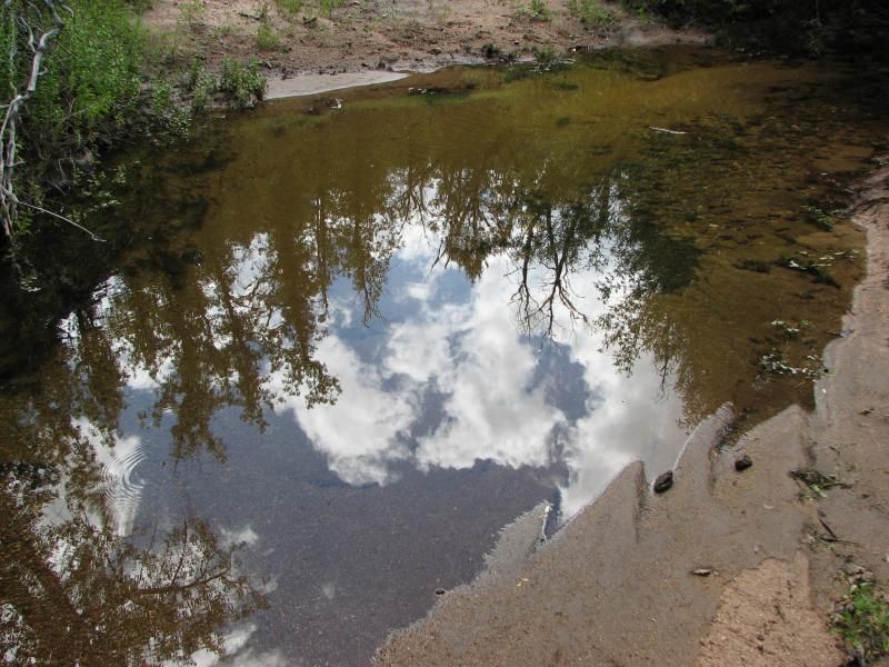
After winding our way down some switchbacks, we crossed some water, and hit a section of lush foliage that is rare in AZ. Clearly, there is water close to the surface here...
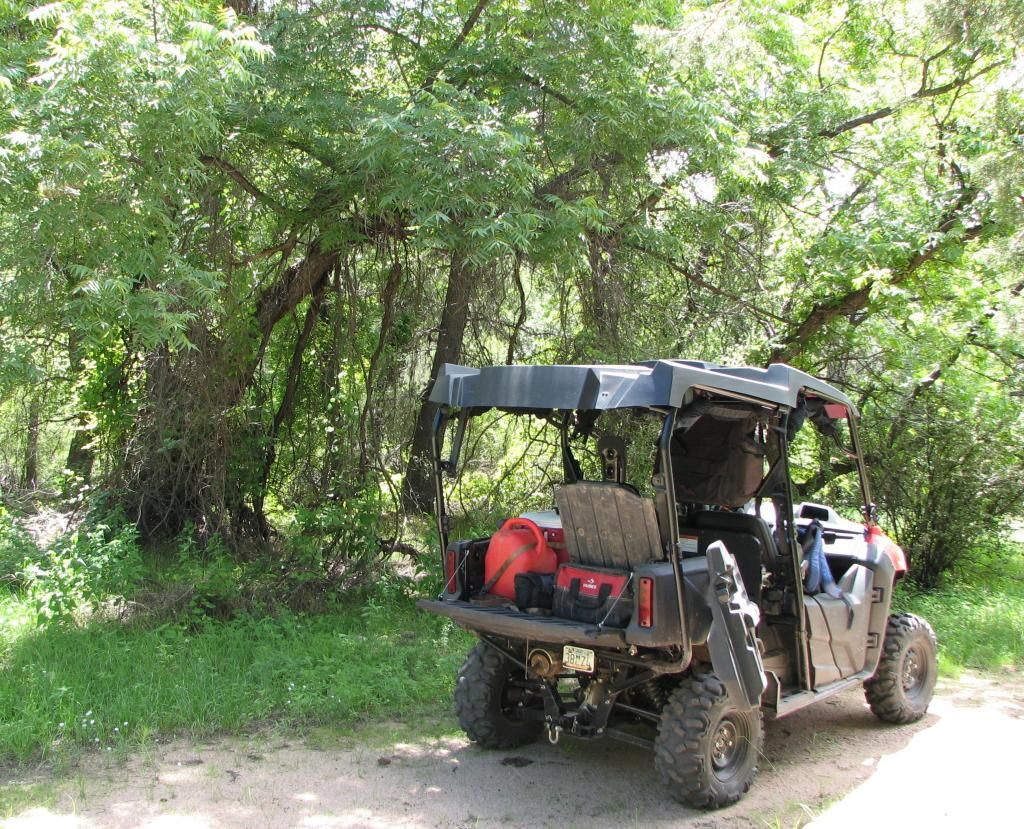
This was as good a place as any for a trail lunch. I had a tasty Italian and turkey on cheese roll with Swiss, and washed it down with a Mtn Dew. I don't know what my in-laws had...but I do recall my B-I-L lamenting some crushed chocolate doughnuts. The horses across the way had fresh grass.
We spent about an hour in this mini Eden splashing through the creek...looking for anything that slithers, crawls, or swims. The link above suggests this water isn't permanent...but it sure seems like the area was well hydrated. Time will tell.
Strangely, this wasn't the only taste of home we would encounter today...
Backtracking, I took a trail marked FS59A. Usually the "letter trails" don't go all that far, but this one proved to take us almost all the way back to 68 before dumping us back onto 59. It initially wound its way through aromatic pines, through water filled washes, and then past one of the common cattle gates in this country. Somewhere was a sign the warned of "Hazardous trail conditions". I chuckled at this, but this trail proved to be far rougher than the normal FS trail, with tons of rocks, eroded ruts, and some slight grades. It was also the catalyst for the intro question.
Nothing too tough for an ATV or SxS, but a vehicle better have clearance and a disregard for paint.
Anyway, it wound up, then down a small peak and finally came into a convergence of two canyons...although from the looks, I'd feel more comfortable calling them hollers...
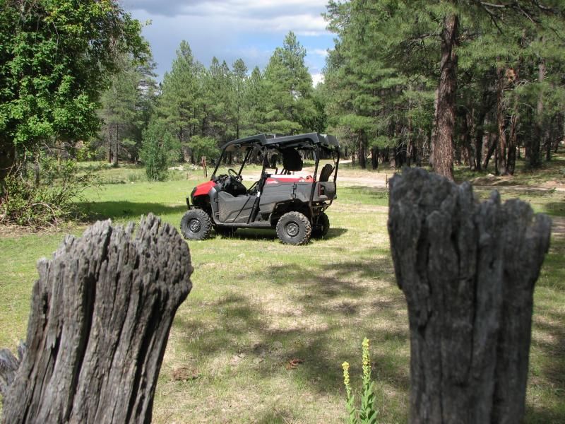
There was a small stream out of frame, and some of the biggest trees I've ever seen in AZ...and that undergrowth that reminds me of home. Water was green from moss ( I hope )...but my nephew did see a 2-headed dragonfly and a 9 legged spider...so who knows. I kept waiting for him to see a high HP, long travel Honda sport SxS...
B-I-L and I both lamented the lack of a hammock for a nap. Would have been a perfect spot...except for the vampire gnats. Still, more akin to NC than Az desert.
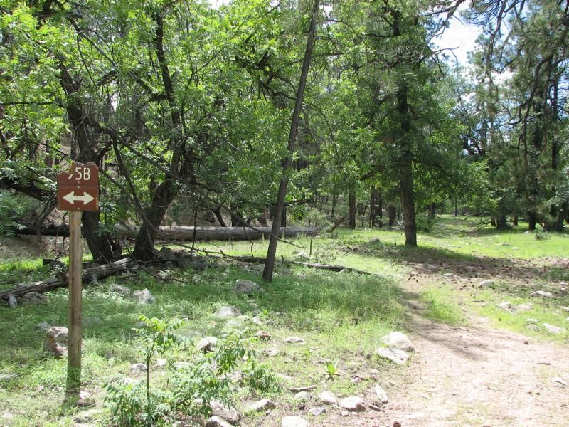
As you can see, a trail marked FS59B went up the holler. We followed it for a few miles before it got serious on an uphill. Completely do-able...but not with a little one in back. Storm clouds were also gathering, and the cardinal rule of wheeling in the desert is to avoid any drainage when heavy rains might come, so we went back to 59A and headed out.
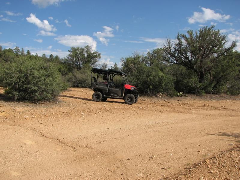
The rest of the trail was much like what we had traveled....rocky, rutted, and crossing many washes before dumping us back on 59 near an old cow corral. This thing makes a great rock crawler, except where noted.
It sounds strange, but I love to find these old ranching relics. I wonder what they have seen in their time. The hard work...the coming and going of man. They date back to a simpler time than what we live in.
Strangely, this one had an old volleyball that still held air better than the Chinese one you just bought at wal-mart. My nephew entertained himself with it for a while, a small shoe print in one of the many cow-patties the only miscue...
B-I-L and I both lamented the lack of a hammock for a nap. Would have been a perfect spot...except for the vampire gnats. Still, more akin to NC than Az desert.
As you can see, a trail marked FS59B went up the holler. We followed it for a few miles before it got serious on an uphill. Completely do-able...but not with a little one in back. Storm clouds were also gathering, and the cardinal rule of wheeling in the desert is to avoid any drainage when heavy rains might come, so we went back to 59A and headed out.
The rest of the trail was much like what we had traveled....rocky, rutted, and crossing many washes before dumping us back on 59 near an old cow corral. This thing makes a great rock crawler, except where noted.
It sounds strange, but I love to find these old ranching relics. I wonder what they have seen in their time. The hard work...the coming and going of man. They date back to a simpler time than what we live in.
Strangely, this one had an old volleyball that still held air better than the Chinese one you just bought at wal-mart. My nephew entertained himself with it for a while, a small shoe print in one of the many cow-patties the only miscue...
After a while we headed back out to FS68 and headed west to check out Yolo Ranch. This thing is a scene right out of Bonanza...

Just to the west, a drainage quickly becomes a canyon, and just to the east of the ranch itself was FS 702 which looked to follow it. This wasn't the case, but it did go down into the SM/SM trail area to a place I had been before on the quad. Completely different terrain...
At this point it was getting late in the day. We hadn't had cell phone contact in hours, and a storm was looming back towards the staging area, so we headed for the trailer. After chugging back up the mountain on FS702, we hit 68 again and headed east.
Back through pine forests, past trickling waters, jagged mesas and rock formations. Our brains full of sights and sounds from they days adventure...but wanting more. But it will have to wait until another day. As always,this ride added more to the to-do list than it took off...but that's OK. That's why we do these things...to see whats over the next hill. To chase the horizon.
God willing, we will be back.