( NOTE: This ride was done nearly 1 1/2 years ago, and only recently did I realize I had never done a ride report on this awesome area! )
...Bagdad, AZ that is. ( I took lots of pics, so you might want to check out the full album ).
...Bagdad, AZ that is. ( I took lots of pics, so you might want to check out the full album ).
This is a ride I've been wanting to take for some time, and my recent trip to the Camp Wood area brought it back to the forefront of my list of to-do's...but these rides always add more than they remove, and scouring Google earth shows that this area is covered in trails, and I only scratched the surface today.
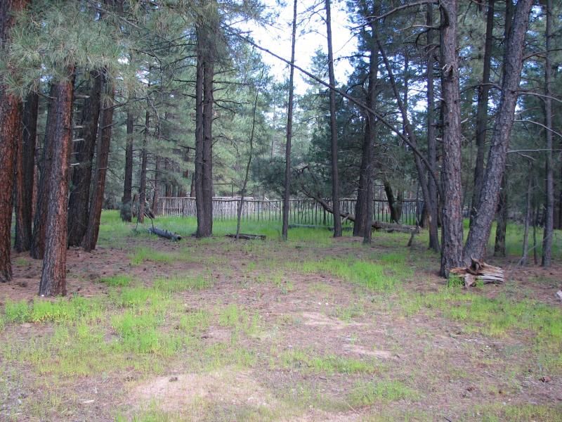
Starting out in Camp Wood...still looking green...but the terrain today would change rapidly...
After passing Yolo ranch and the 2 gates the allow access to Bagdad, I was in virgin territory and soon dropping in elevation. The road itself was actually nearly passable by passenger car, yet terrain later in the day would prove technical as just about anything I've ever done in a SxS.
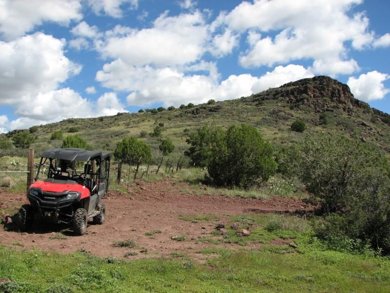
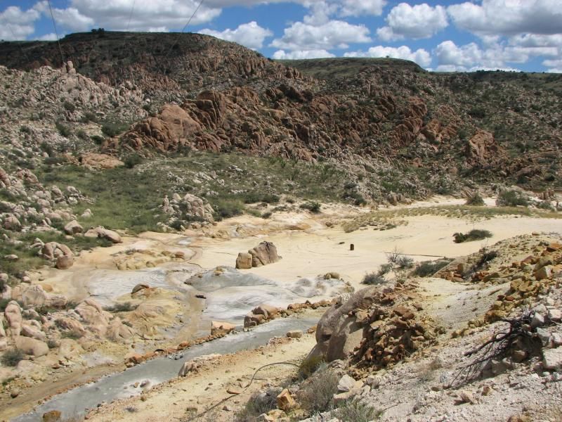
The road continued until dropping off a mesa and skirting a large canyon that, surprisingly, had a significant amount of water flowing. Miles later we would meet in person, but 1st I would marvel at rugged chocolate rocks peaking out from the mesa tops...
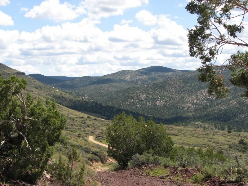
This is on a side trail looking back up toward Camp Wood at the mesa top with the main road snaking in the distance...
In a scene repeated often on the day, I just couldn't help but marvel at the beautiful Az day that unfolded before me, especially considering that this was a rather mild day for this area...
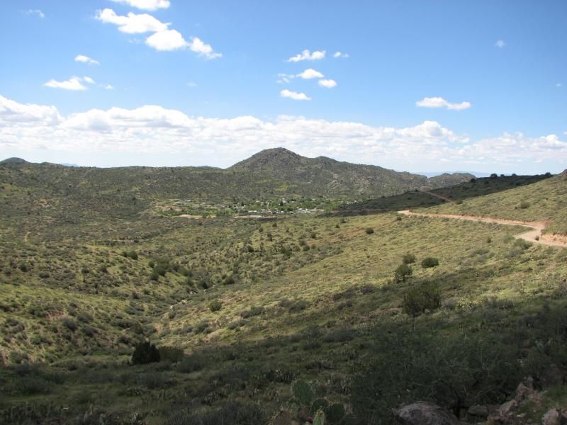
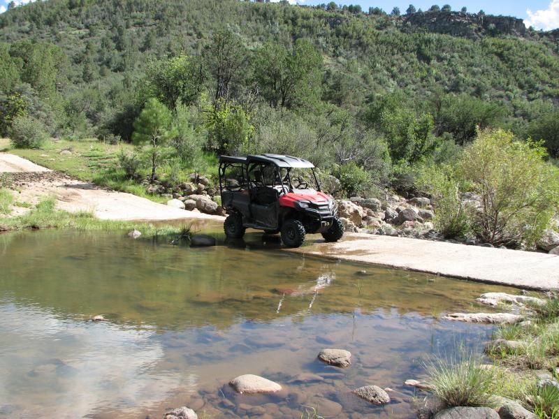
After winding my way on down the trail, I finally crossed that water...and it was running well enough for the locals to come out and play in the deeper pools. Later, I would learn that this area is known as Wild-horse basin, with a small ranch just up the creek. After crossing another small hill I was dropped onto a large flat plain for a few miles until I reached the mesa edge. Then the edge of Bagdad was before me...
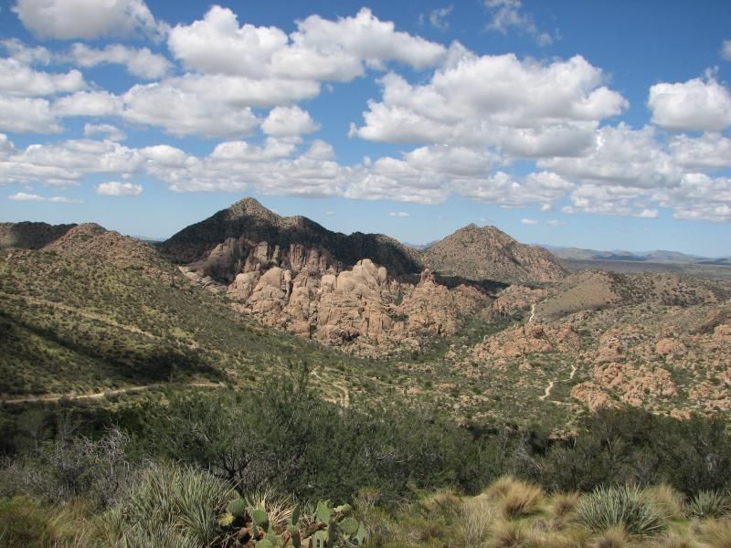
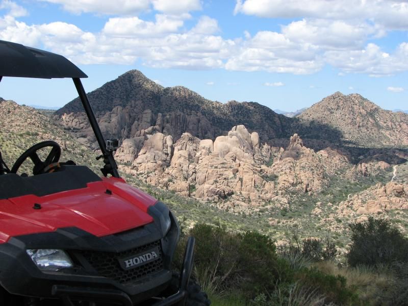
I did go on down...but hit pavement, so decided to head back to the site of the pic and check out some side trails. I saw this remarkable site when looking west from the edge...
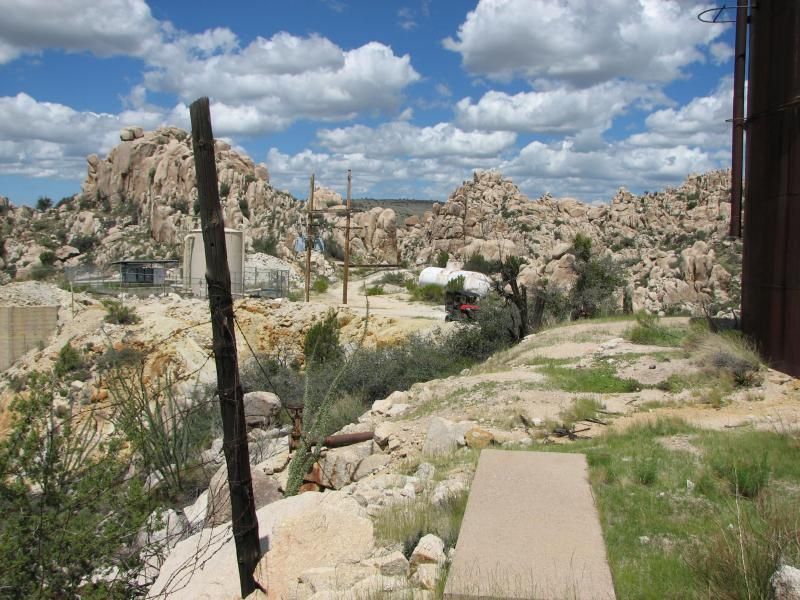
Notice all the trails, and its easy to see why I headed on down and followed one due west ( which is unnamed on any map I can find ) where I came across some old piping...which screams "mine" to us desert explorers.
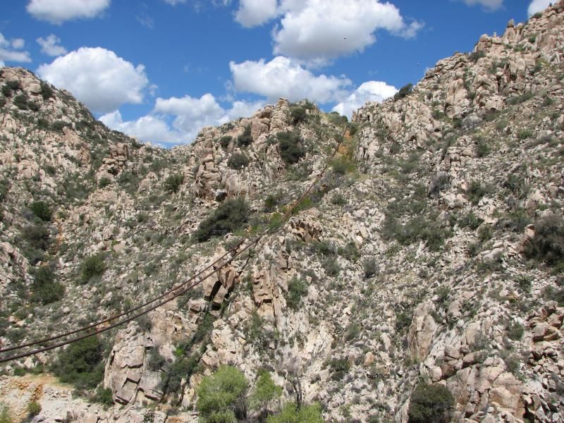
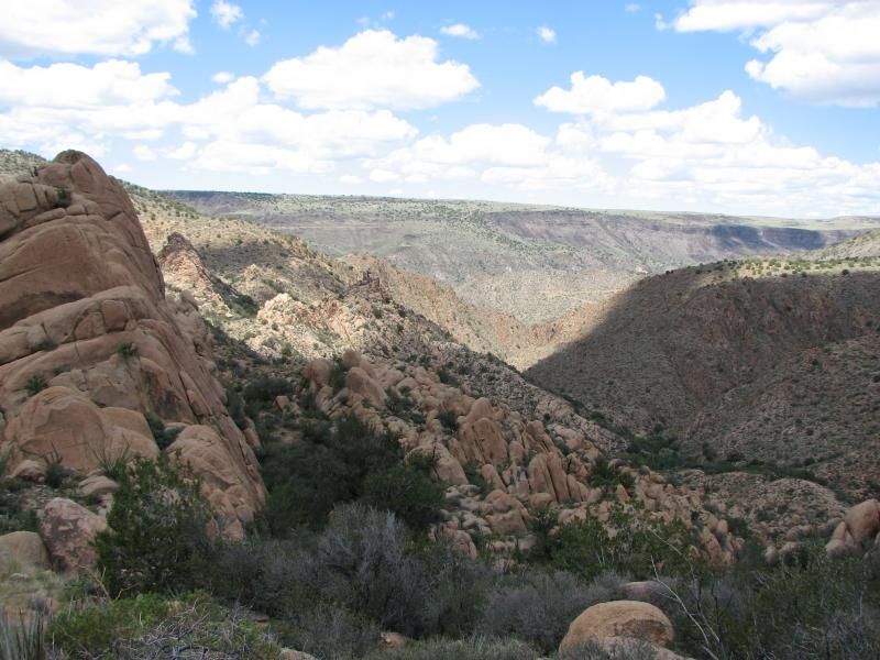
You knew this was rugged country...but even the jagged canyon I was about to enter would surprise me. No getting off the road here...and whoever made these roads definitely saw lots of profit to build a road into the side of a cliff. At the bottom was Boulder creek.
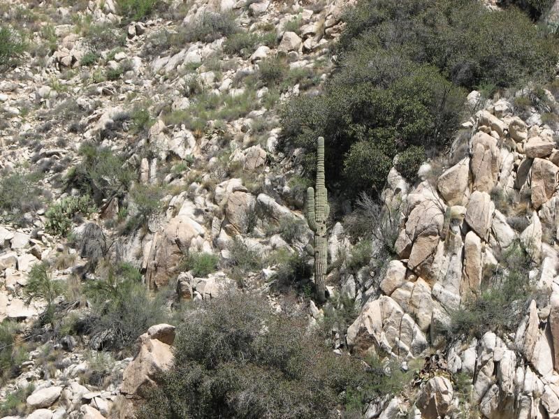
After snapping pics...I came to a realization when I saw Saguaro cacti growing everywhere: This was the 1st time I have actually ridden in true desert. Took 6 years after moving here to do it, but it was worth the wait. I was grinning from ear-to-ear all day.
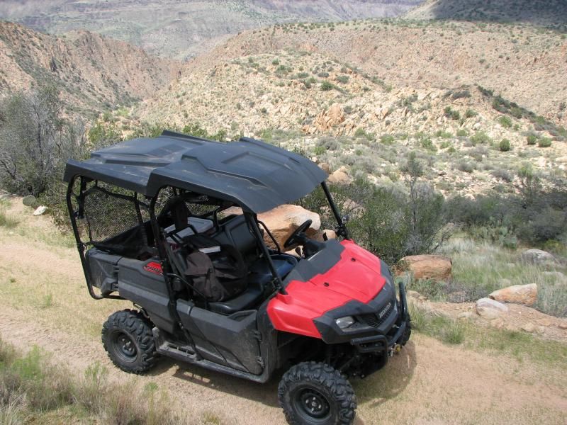
Jumping back in the Pioneer, I followed the road on down and was surprised to see it cross the canyon bottom...complete with water deep enough to make me question crossing it. But I did, and found cool stuff for the effort. ( NOTE: I will have an accompanying video showing this road and creek at the end of this page ).
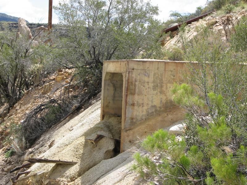
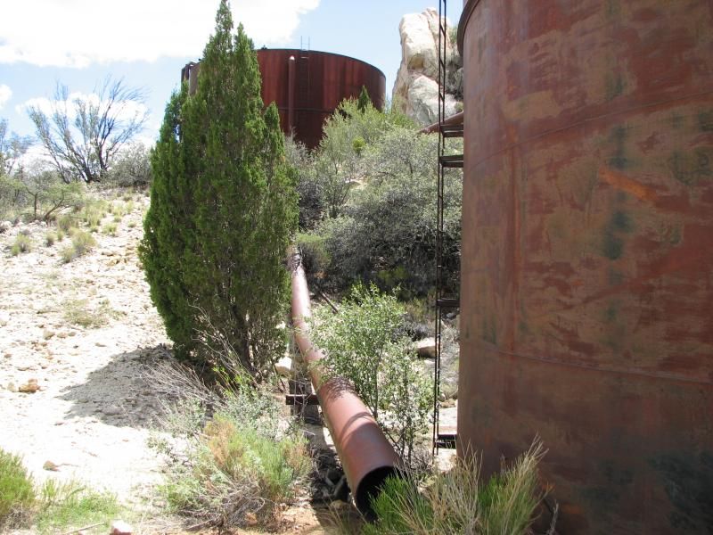
On the other side, the road twisted up this steep canyon-side and I emerged at the top to see relics of mans lust for wealth...
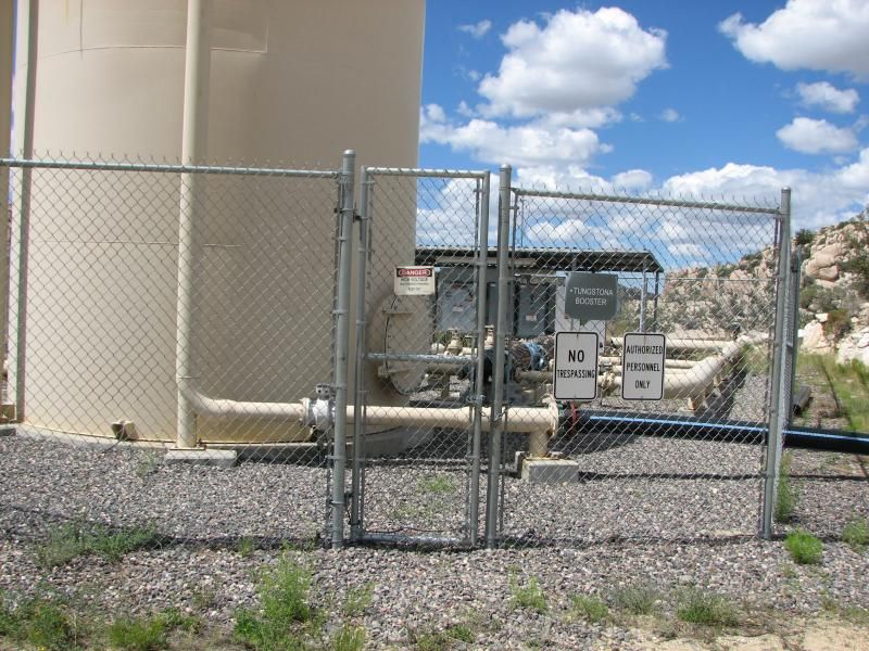
I was a bit confused as to what I was seeing...since among these was what appeared to be a modern pumping station of some sort...
...yet the other way was what appeared to be a retention pond of some sort...
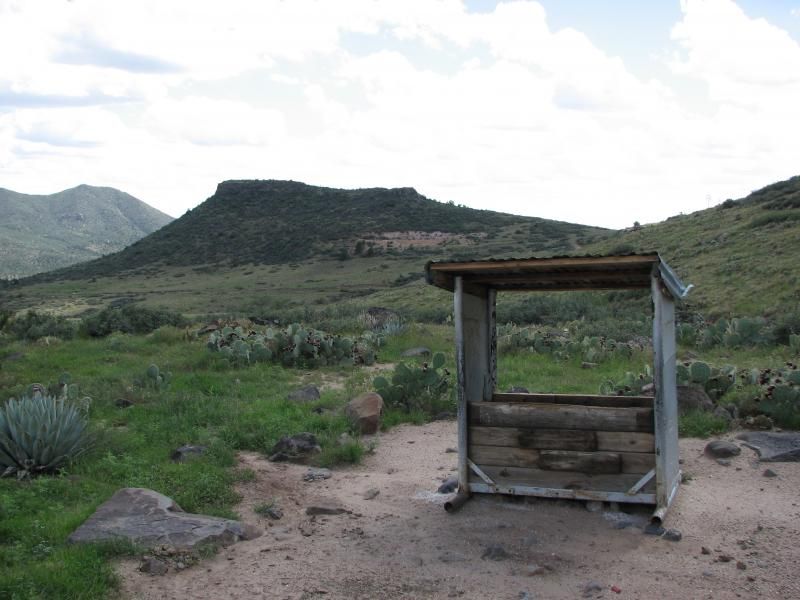
...that I would end up crossing later. Trails went every way...but I like to feel out an area before I head off for miles into the distance, so I did some close exploring and ended up at a couple of wells, and later I would learn that this area in known as Warm Springs, and there was mining here complete with tailing pond, but the pumping station was simply put in a convenient location. I love finding stuff like this!!
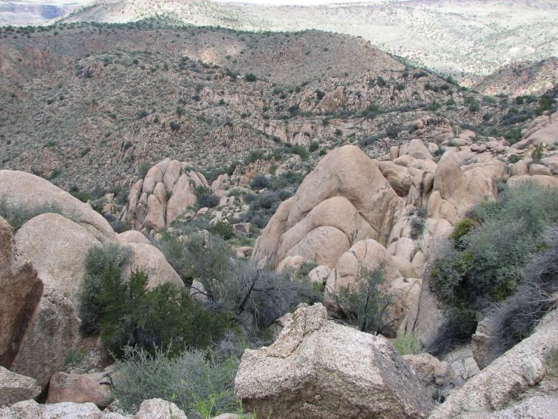
Back out of this narrow canyon and back to some of the trails through the rock mountains from the earlier pic. Heading south-west, the trails were cut through gaps in the rocks, and lead over to some of the most rugged terrain Az has to offer...
No travel here except on the trail, unless you're a Javelina...
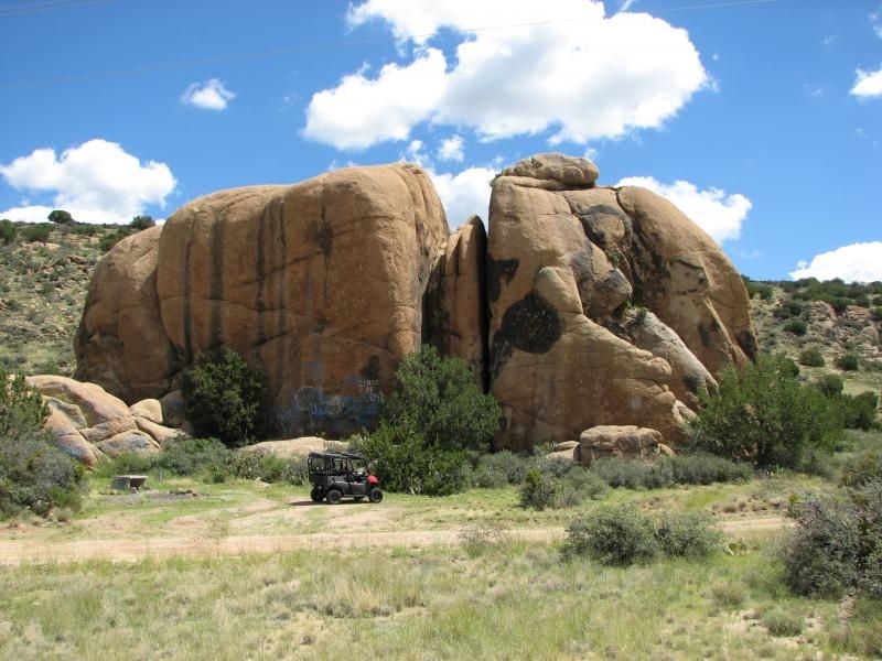
That trail appeared to lead back into town, so I turned and headed back to the main landmark for some lunch...
Too bad the locals had to screw it up with graffiti. Lunch of cold Mountain Dew and my favorite pastrami/pepperoni sub, a few minutes to take it in...and the dread of having to leave. Many trails to be done, but for now its time to head back.
Heading back up, I came across a road marked "Black Pearl", and decided to explore it a bit. Had to cross that creek again...
...and then hit some very eroded trails and rocks. After some miles of this I turned and headed back out, but found out later that I was really close to the "Black Pearl"...which was a sizable mine. More on the list...
Back up and out...all told, about 100 miles on the trip meter. This country never fails to please me. Almost unbelievably rugged canyons, yet 1/2 an hour from pine forest. Tons of relics to explore, and miles of trails to be seen. What a great day to be alive.
